Farming
How Agricultural Drones Are Helping Farmers Reduce Costs
Agricultural Drone Services for Arable and Mixed Farms
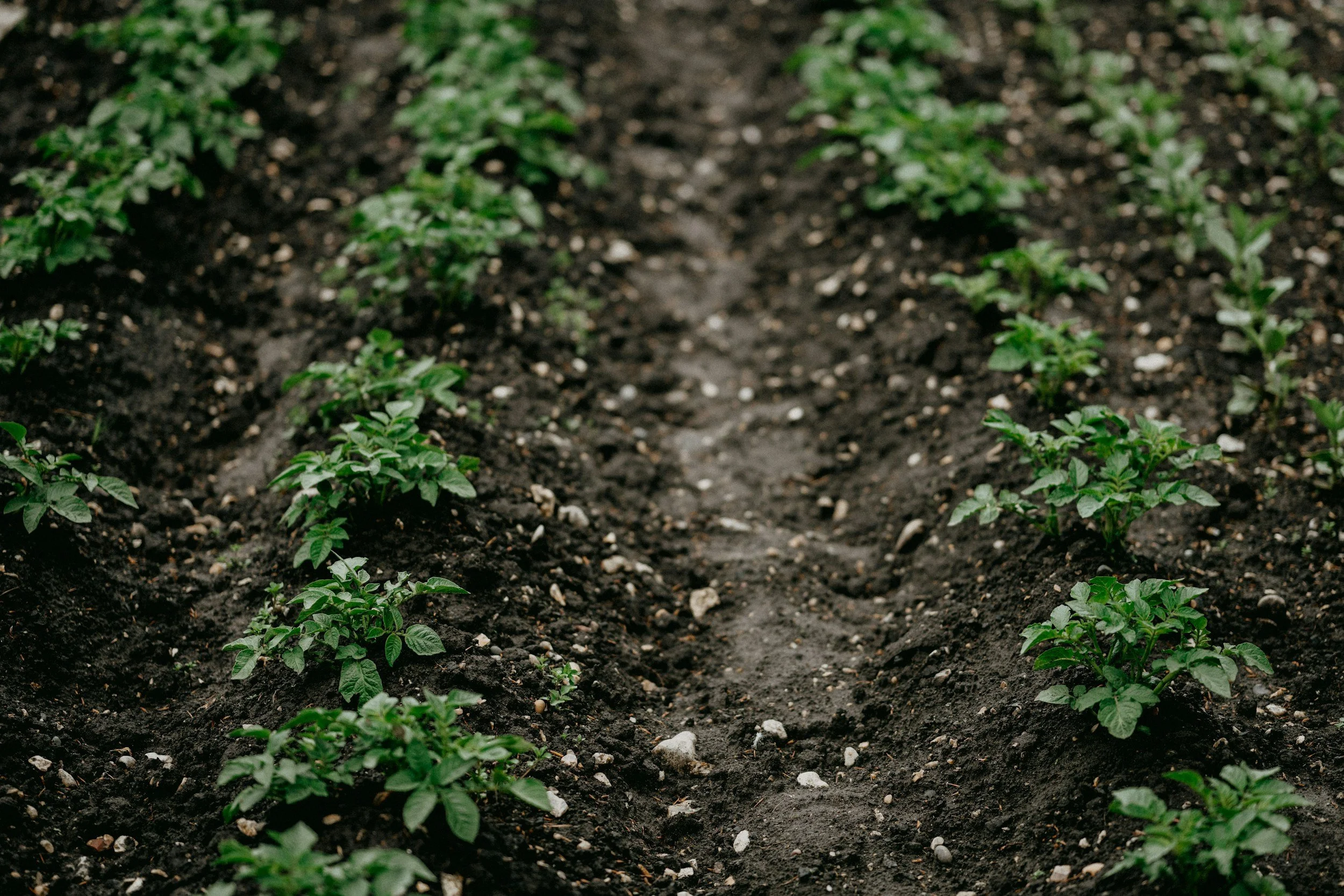
Farming in the South West has always meant working around the weather. Atlantic fronts that close spray windows without warning. Heavy clay soils that don't forgive another pass of machinery when they're wet. Fields that slope, flood, or simply can't be reached safely with ground equipment at the exact point you need to access them.
Drone Logistics is a Cornwall-based agricultural drone services business, and we work with arable and mixed farms across Cornwall, Devon, and the wider South West. Our services cover precision crop spraying, NDVI crop health surveys, cover crop and seed broadcasting, and precision fertiliser spreading - all operated by CAA-compliant pilots using XAG P100 professional agricultural drones.
This page covers what we do, how we work, and where drone technology is likely to make a practical difference on your farm.
What We Do for Arable and Mixed Farms
Precision Crop Spraying
Our drones carry a 51-litre liquid tank and deliver at up to 22 litres per minute, with a spray width of three to seven metres configurable to the field and crop. Applications include fungicides, insecticides, herbicides, and liquid fertilisers, subject to product label approval and UK regulatory compliance.
Because the drone operates above the crop rather than through it, there is no wheel traffic, no soil compaction in root zones, and no crop damage during application. For arable farms where tramline damage, compaction, and timing pressure are ongoing concerns, this changes the practical calculation of what it costs to spray.
Variable rate application is available where a prescription map exists - either from our own NDVI survey work or from an agronomist-supplied VRA map. This allows different application rates across a field in a single pass, based on crop need rather than a flat rate across the whole area.
NDVI Crop Health Surveys
Our multispectral drone surveys capture crop health data at a resolution that satellite imagery cannot match. The processed output is a colour-mapped NDVI survey of your field, showing spatial variation in crop health - identifying areas of nutrient deficiency, disease pressure, waterlogging, or poor establishment before they become visible from the field margin.
Surveys can be used as a standalone diagnostic, as the basis for a variable rate application prescription, or as a seasonal monitoring series to track how a field responds over time. Data is delivered in a format compatible with standard agronomic platforms.
Cover Crop and Seed Broadcasting
Drone seeding allows cover crops and small seeds to be established quickly and accurately without ground contact. Our 80-litre hopper broadcasts at up to 150 kg per minute, with GPS-guided flight paths ensuring consistent coverage across irregular field shapes and slopes.
For farms looking to establish cover crops between harvests, or to reseed areas of poor establishment without running machinery over wet ground, drone broadcasting removes the dependency on conditions that often makes this work harder than it needs to be.
Precision Fertiliser Spreading
Conventional spreaders apply at a fixed rate across a field, regardless of variation in soil type, organic matter, or crop performance. Our drones can spread dry fertiliser at variable rates from a single pass, using GPS-guided application to deliver more where the crop needs it and less where it doesn't.
This is particularly relevant on farms with known soil variability - lighter sandy areas, heavier clay patches, or chalk outcrops within a single field - where whole-field flat rates are a known inefficiency.
Where Drone Services Make the Most Practical Difference
Drone application is not always the most cost-effective answer. There are field sizes, crop types, and application scenarios where conventional equipment remains the right choice, and we will tell you that directly if it's the case. Where drones tend to deliver the clearest practical advantage:
Fields with restricted access or significant slopes where tractor operations are impractical or create unacceptable soil damage risk. Crops at growth stages where ground machinery would cause canopy damage - particularly at flag leaf and beyond in cereals, or during heading in brassica crops. Time-critical applications where the spray window is short and mobilisation time matters: our Cornwall base means we can respond quickly to weather opportunities rather than travelling from outside the region. Situations where soil compaction is already a concern and further wheel traffic would compound the problem - particularly on heavier soils common across parts of Cornwall and mid Devon. Variable fields where flat-rate application is a known compromise and prescription mapping would improve both input efficiency and yield outcomes.
How We Work
We work directly with farm managers and agronomists. If you are working with an independent agronomist or a crop consultancy, we are experienced in integrating with that relationship rather than cutting across it - our survey data and application records are designed to be useful to the person advising the crop, not just the person operating the drone.
Every job is fully documented. You receive GPS track logs, application records, coverage data, and weather conditions at time of operation as standard. This supports your agronomic programme, your compliance records, and any cross-referencing against crop performance data at season end.
Before any work begins, we discuss the crop, the objective, the timing, and the specific conditions of your fields - including buffer zone requirements, water course proximity, and any neighbouring land constraints. There are no grey areas on compliance, and there is no pressure to proceed in conditions that would compromise the quality of the application.
Based in Cornwall. Operating Across the South West.
Drone Logistics is based on Cornwall’s Atlantic coast. We serve farms across Cornwall and Devon as our primary operating area, with capacity to work further across the South West for the right jobs.
For a straightforward conversation about whether drone services are a fit for your farm, contact Russell directly.
Further Reading
Blog - Why choose agricultural drone technology
Blog - How Drone Mapping Supports Targeted Input Reduction on Farms