
Drone Services for Orchards and Vineyards
Precision Aerial Technology for Fruit Growers and Vineyard Managers Across the South West
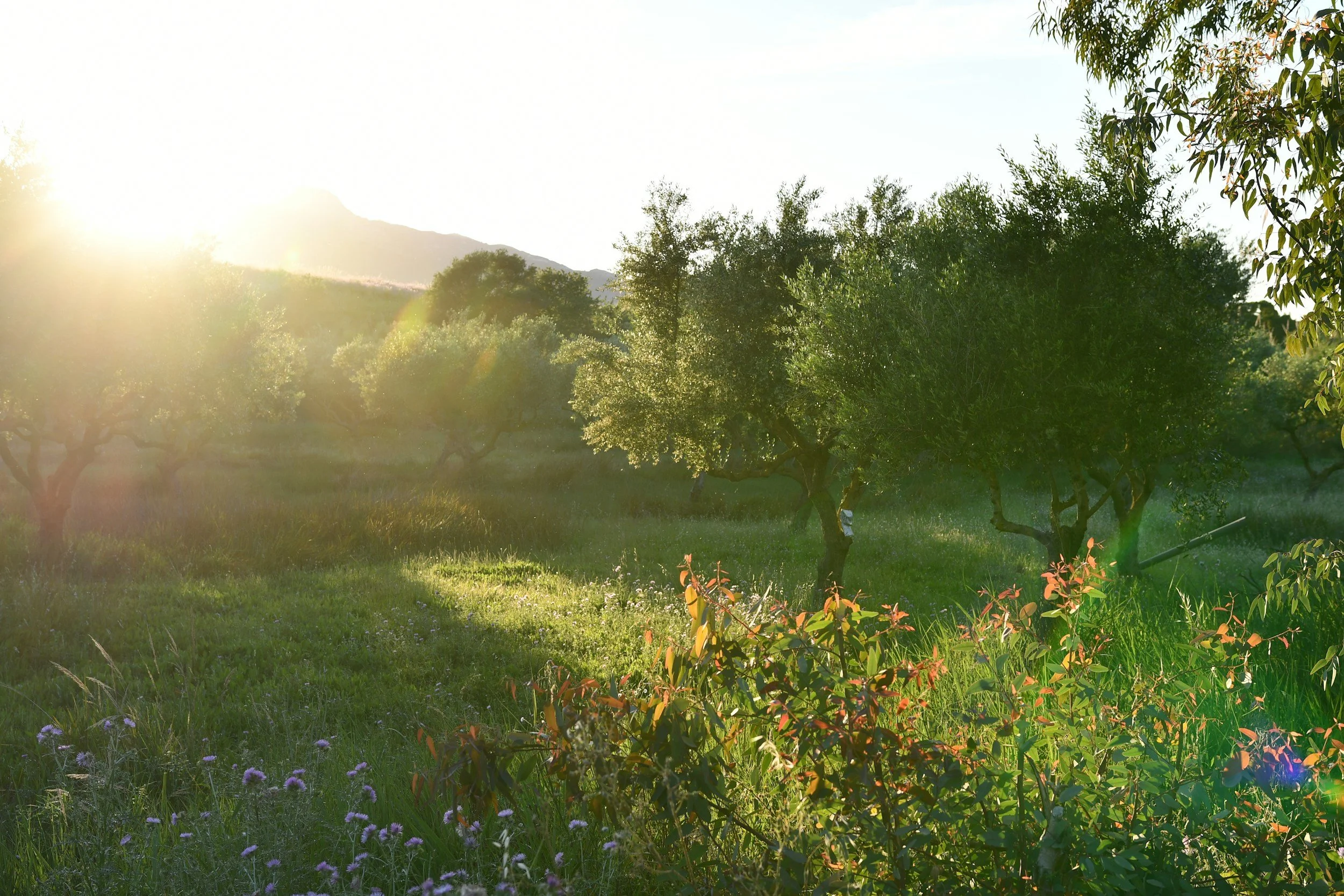
The South West has one of the most active orchard and vineyard landscapes in the UK. Cornwall and Devon's cider apple heritage runs deep, and English wine production has expanded significantly across the region over the past decade. Both industries share a common challenge: high-value crops, complex canopy environments, and a growing pressure to reduce chemical inputs while maintaining quality.
Drone Logistics provides aerial services specifically suited to the demands of orchard and vineyard management – from early-season disease monitoring through to precision spraying and harvest-readiness assessment. We work with fruit growers and vineyard managers across Cornwall, Devon, and Somerset who need accurate, timely data and targeted interventions that ground-based methods struggle to deliver efficiently.
What We Do for Orchards and Vineyards
Canopy Health Monitoring and Disease Detection
In a vineyard or orchard, the difference between catching downy mildew, powdery mildew, or fire blight early and catching it late can be measured directly in yield loss and remediation cost. Ground-level scouting is time-consuming and inherently partial – particularly in larger plantings where full coverage on foot takes days.
Our multispectral drone surveys produce detailed NDVI and canopy health maps that identify stress, disease pressure, and nutrient deficiency across the whole site in a single flight. Repeating these surveys at key growth stages through the season – bud break, flowering, fruit set, veraison for vineyards – gives you a documented picture of crop health that informs every subsequent management decision.
For vineyard managers, this data is also increasingly relevant to wine quality narratives and sustainability certification, where evidence of precision management and reduced inputs carries commercial value beyond the operational benefit.
Precision Spraying Between Rows
Orchard and vineyard rows present specific application challenges. Conventional ground sprayers work well in established, accessible plantings but struggle with steep gradients, wet ground conditions, and young or closely-spaced rows where machinery access causes compaction or physical damage.
Our XAG agricultural drones apply fungicides, insecticides, and foliar nutrients precisely between and over rows, calibrated to your application rates and crop growth stage. Variable-rate application means you're treating the areas that need it rather than blanketing the whole site – reducing chemical use, protecting beneficial insect populations, and keeping your input costs proportional to actual crop pressure.
For organic or low-intervention producers, drone application of approved inputs offers a practical way to maintain coverage without the ground disturbance that heavier machinery creates.
Frost Monitoring and Risk Assessment
Spring frost events are one of the most significant yield risks for orchards and vineyards in the South West. The maritime climate moderates winter temperatures but doesn't eliminate late frost risk, and the topographic variation across Cornwall and Devon means frost hollow exposure can vary significantly even within a single site.
Thermal drone imaging identifies cold air pooling and frost-risk zones across your site before and during vulnerable growth stages. This data supports decisions about frost protection measures – wind machines, irrigation frost protection, or targeted canopy management – and helps you prioritise where intervention is most needed rather than applying blanket measures across the whole planting.
Aerial Mapping and Site Assessment
Accurate site mapping is foundational to good orchard and vineyard management, but many established plantings were never properly mapped. Soil variation, drainage patterns, aspect differences, and row geometry all affect management decisions – and all are captured efficiently from the air.
We produce high-resolution aerial maps and terrain models that give you a detailed, current picture of your site. These are useful for drainage planning, new planting design, agri-environment scheme applications, and the kind of precision zoning that underpins a variable-rate management approach.
The South West Wine Region
English wine production has grown substantially in the last decade, and the South West – with its warming temperatures and well-drained slopes – is increasingly well-suited to varieties beyond the traditional cool-climate standbys. With that growth has come greater scrutiny of inputs, sustainability credentials, and production quality.
For cider apple growers, similar dynamics apply. Provenance, low-intervention production, and documented land management practices are increasingly relevant to premium cider producers and the retailers they supply.
Drone services sit naturally within that context – providing the precision data and targeted application capability that both industries need to manage costs, meet sustainability expectations, and protect crop quality in a climate that doesn't always cooperate.
Working With Drone Logistics
All operations are conducted by CAA-certified pilots carrying full public liability insurance. We carry out a site assessment before every job, agree application rates and coverage areas with you, and provide complete operational records on completion.
We're based in Port Isaac and work regularly across Cornwall, Devon, and Somerset. Vineyard and orchard sites with steep ground, restricted access, or complex row configurations are exactly the kind of work our equipment and experience is suited to.
Get in Touch
Whether you're looking at a specific intervention or thinking about what an aerial monitoring programme might look like across a full growing season, we're happy to talk through what's practical for your site.
Email our MD Russell to arrange a site visit or request a quote.